Welcome to the North Country.
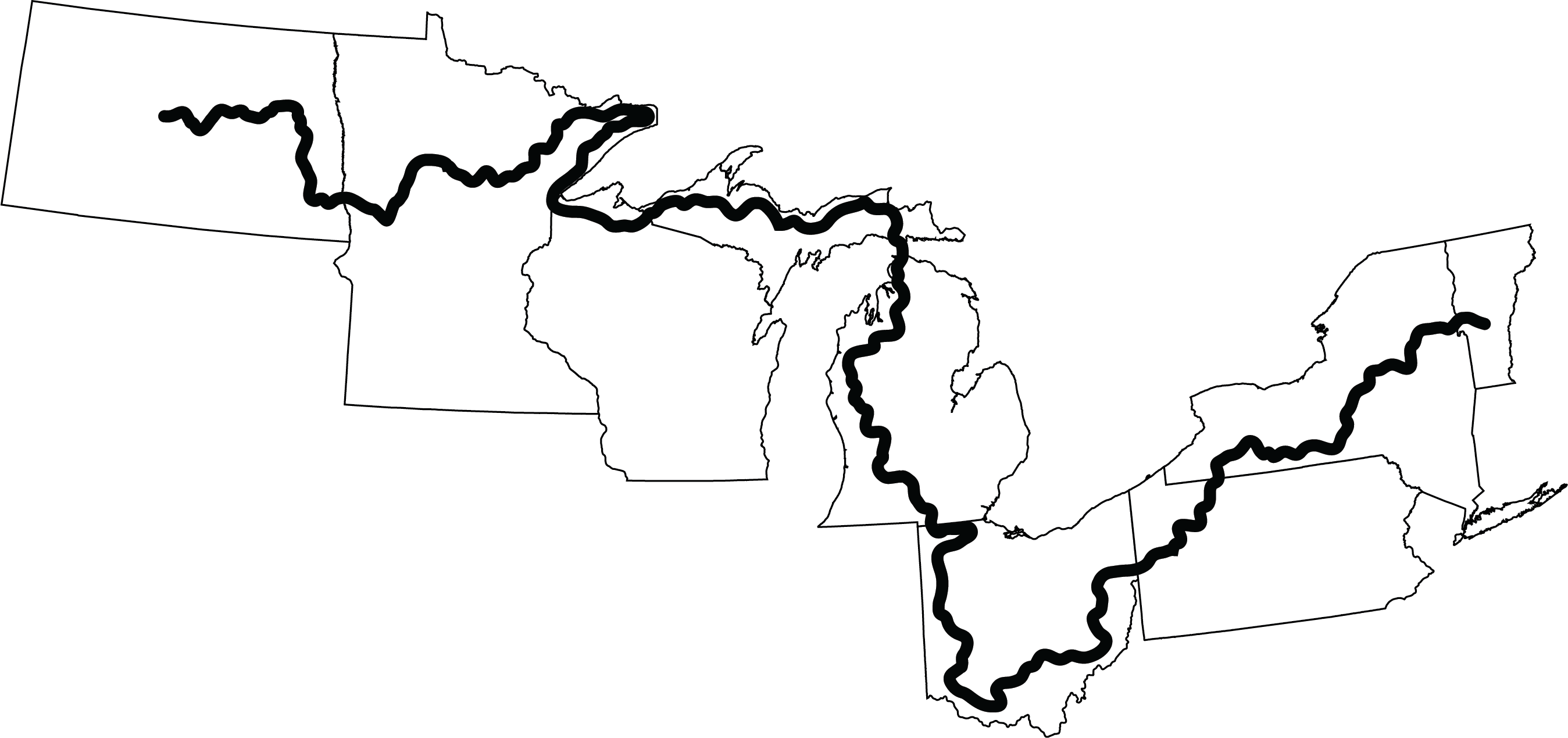
Whether your adventure is an evening stroll or an intensive backpacking excursion, the North Country National Scenic Trail offers diverse landscapes and abundant opportunities for exploration. It stretches 4,800 miles across eight states, making it the longest National Scenic Trail in America. Trek along the rugged shorelines of the three largest Great Lakes. Make your way across quaint farmlands and vast prairies. Crunch down country roads lined with oak and maple trees, and break for lunch in a quiet Trail Town. Wander through iconic parks or remote wilderness. Hike up rolling hills to take in a vista or soak up a sunset, then tramp back down into glacial valleys with cold rushing streams and plunging waterfalls. The North Country National Scenic Trail is a treasure in your own backyard.
The North Country Trail Association (NCTA) and the National Park Service (NPS) work together to unite the community that builds and maintains the North Country National Scenic Trail and tells its story. With guidance from the NCTA, the NPS, and other land management and trail organizations, the majority of on-the-ground trail work is done by hundreds of volunteers, who are assembled into over two dozen Chapters along the Trail.
These Chapter volunteers welcome you, and are eager to introduce you to the Trail. Join them for a hike.
Header photo by Kedron Rhodes