Mackinaw City trailhead to Kipp Road, east of Harbor Springs
The Harbor Springs Chapter organizes several activities throughout the year. The first Saturday of the month the Chapter sponsors a hike on one section of the trail, thus hiking all of the Chapter’s trail during the year. A patch or pin is awarded to anyone who hikes the whole trail, during group hikes or on their own. A recurring hike takes place in June when the lady slippers are in bloom on one section of the trail. Download the 2024 Chapter Hike Schedule for dates and locations of hikes.
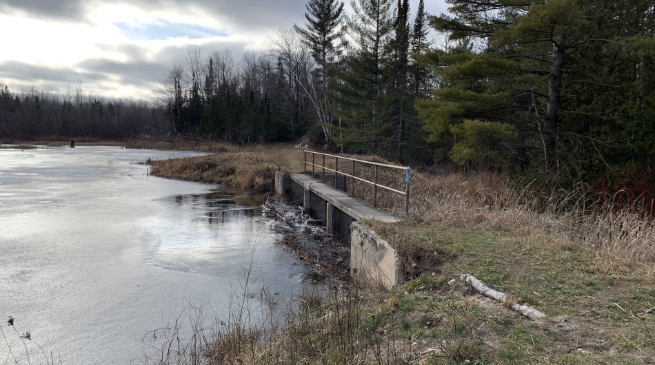
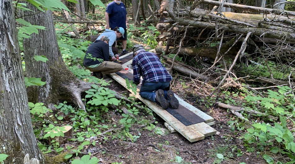
After the snow melts, Chapter volunteers check for, and clear downed trees. Some volunteers simply hike the trail and report on work needed. Trail maintenance takes place during the spring, summer, and fall: trimming branches, painting blazes, constructing boardwalks, and other trail improvements. Some of the trails are mowed to keep ferns, grass, and bushes from overgrowing the trail. Work days are set up as needed and volunteers on the Chapter’s email list are notified. Members are are also notified by email when meeting are planned.
We would love to have you join us for one or any of our events. Reach out at hrb@northcountrytrail.org to learn more about our Chapter.
![]()