North Country Trail Association

Laurentian Lakes Chapter

Section

Otter Tail/Becker county line southwest of Frazee to Itasca State Park

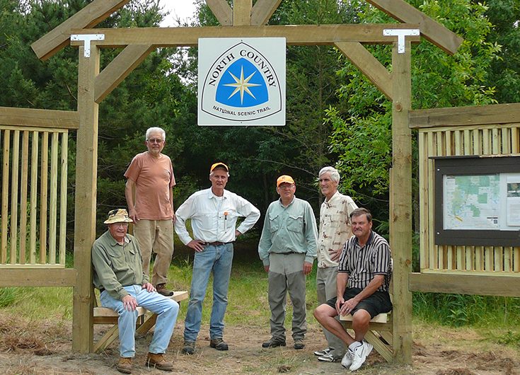
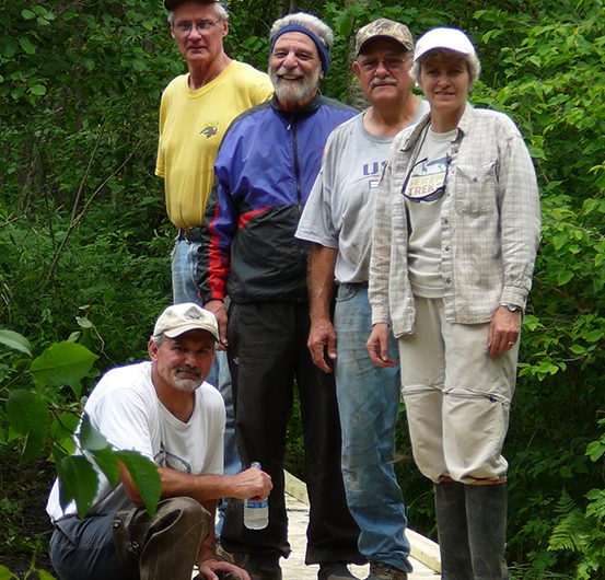
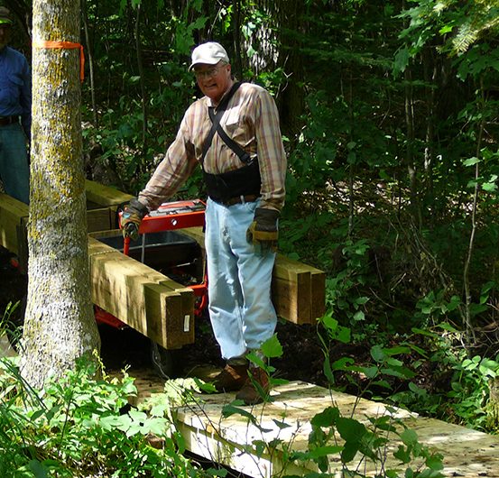
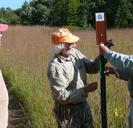
The Laurentian Lakes Chapter formed in 2006 and has over 80 members, mostly from the Ponsford, Detroit Lakes, Moorhead and Frazee areas of Minnesota, and Fargo, North Dakota. The Chapter is responsible for 72 miles of the NCT. To date, it has built over 47 miles and maintains 62 miles of trail from Itasca State Park to the Becker/Otter Tail County border near Frazee. Guided hikes are generally held monthly with anchor events in January (Winter Trails Day), June (National Trails Day), August (Hiking Fest) and September (National Scenic Trails Day). Each hike is advertised in area newspapers and Chamber of Commerce newsletters. Meetup membership meetings are held quarterly to include a January dinner meeting/silent auction, and a joint meeting with the Itasca Moraine Chapter in October with a dinner and featured speaker. The Chapter board meets several times a year to discuss Chapter activities such as planning, building and maintaining trails, hiking events, training volunteers, marketing and membership. The Chapter welcomes new members and deeply appreciates the work of current members and non-member volunteers who contribute over 2,000 hours to the Chapter per year. Please connect with us. We would love to have you join us!

Download a Section Map

kety DataKey Data

Chapter Trail Section

The Chapter is named after the Laurentian Divide, a north-south divide separating the waters of the northern midwestern United States from the waters of eastern and southern Canada. The north-south section from Tamarac to Long Lost Lake follows the divide. The Trail in this section crosses (south-to-north) the Hubbel Pond Wildlife Management Area, the Tamarac National Wildlife Refuge, a Becker County Forest, the Greenwater Lake Scientific and Natural Area, the White Earth State Forest and Itasca State Park, traveling through and around prairie fields, forests, lakes, rivers and ponds. Historical points of interest include old railroad beds used for logging, evidence of the first settlers, work of the Civilian Conservation Corps (CCC), life of the Ojibwa, where the Continental Divide separates waters flowing north to Hudson Bay from the south to the Gulf of Mexico and the Headwaters of the Mississippi.

Trail Town: Frazee

Frazee is a small city in Northwestern Minnesota, located on the BNSF railway’s northern transcontinental route and US-10. Frazee is a modern-day recreational crossroads as it is where the future Heartland State Trail extension will meet the Otter Tail River State Water Trail and the NCT.

Connect and Get Involved

Join the Chapter
llc@northcountrytrail.org
Facebook
Chapter Meetup
Chapter brochure

Resources

Use the Report Trail Condition form to alert NCTA and the Chapter to poor trail conditions. Visit the Trail Alerts page while planning your adventure.

Electronic Scrapbook of Trail Development

History of the NCTA in Minnesota

Suggested Hikes

North from State Highway 34 Trailhead, out-and-back: Hike as far as you want then return. You will cross through prairie fields and see wetlands.

South from Highway 113 Trailhead / White Earth State Forest, out-and-back: Hike through a white pine plantation then return.

Old Indian Trail, loop: Bear Paw Spur loop trail in Tamarac National Wildlife Refuge.

Tamarac National Wildlife Refuge to Old Indian Trailhead, 2.2 miles: Hike from Pine Lake parking 2.2 miles through a mixture of old fields, hardwoods and along the shores of Tamarac Lake.

Highway 113 to CR-39 Trailhead, 4.3 miles: Hike through a mix of hardwoods and pine plantations and over some hilly terrain. Part of this hike is along the Laurentian (Continental) Divide.

Elbow Lake Road to Highway 113 Trailhead, 4.8 miles: Hike along the Laurentian Divide though majestic hardwoods and tall pines.

Highway 113 E / Gartner Farm Trailhead to south entrance of Itasca, 7.5 miles: Hike through an old growth pine forest and numerous lakes.

A popular two day backpack is from Old Headquarters to the South Entrance at 17.8 miles.

Chapter Maps and Guidance

View our section of the Trail on the interactive online map

Additional Local Resources

Becker County Forest
Greenwater Lake Scientific and Natural Area
Hubbel Pond Wildlife Management Area
Itasca State Park
Tamarac National Wildlife Refuge