A number of years ago, the North Country Trail Association identified a lack of access to trail information as a barrier to hiker engagement. By shifting from a mail-order based retail model of map sales to online digital delivery, the NCTA was able to reach significantly more hikers. by Matt Rowbotham, NCTA GIS Coordinator […]
Our Stories
Tag: Avenza
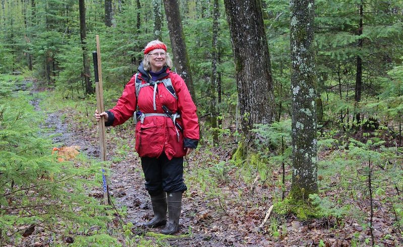
Spring Walk-Throughs on the NCT
A spring walk-through on a section of the North Country Trail is a straightforward, yet very helpful volunteer task for those interested in helping out their local Chapter. Volunteers walk an assigned Trail section, and either remedy or report common trail problems, including tree blowdowns, extra wet or muddy spots, thick brush, winter logging […]
New Maps: Minnesota
Today, we’re excited to announce the next release in our new map series: the NCT in Minnesota. We have 92 maps, coming in at just over 486 miles. The NCT in Minnesota runs through a diverse tapestry of landscapes, perfect for the day or longer distance hiker. Welcome to the Land of Sky-Blue Water! The […]