Our Stories
Why Digital Maps Work Best for the NCT
A number of years ago, the North Country Trail Association identified a lack of access to trail information as a barrier to hiker engagement. By shifting from a mail-order based retail model of map sales to online digital delivery, the NCTA was able to reach significantly more hikers.
by Matt Rowbotham, NCTA GIS Coordinator
As the hiking community coalesced around social media, the NCTA was able to provide content (in the form of maps) that hikers could share with one another. These community supported or digital “word of mouth efforts” have played an important role in growing the popularity of the North Country Trail over the last few years. (So thank you for sharing!)
 At this stage in the development of the North Country Trail, the Trail itself has a very dynamic nature. It’s ever-changing. New Trail is being built every year, opportunities arise to connect segments, and the occasional loss of access all change the route of the Trail, sometimes very suddenly. Historically, these sorts of changes would invalidate any map inventory the NCTA had on hand – and not to mention the retail maps that hikers may have purchased.
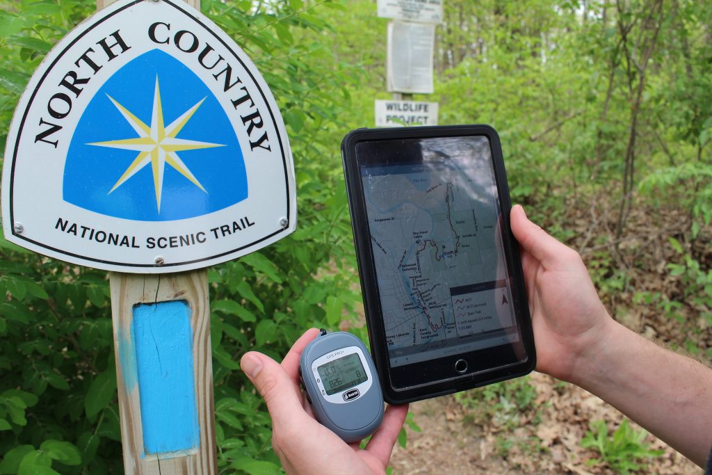
The NCTA’s no-cost digital delivery model of providing information to Trail users overcomes these issues (and others) by allowing the most recent trail information to be made available to hikers in multiple mediums through northcountrytrail.org.
In Summer 2020 we saw a number of unexpected back-to-back changes happen in Michigan. This created a situation where new maps had to be released every couple of months. The free map strategy served both the NCTA and the hiking community well, in that there was no wasted inventory or money spent on maps that were no longer accurate.
The North Country Trail Association provides free, downloadable maps so everyone can explore the North Country Trail. To help keep these resources free, please consider supporting our work with a gift today.