Events
Hike in the Porkies
Join the NCTA Ni-Miikanaake Chapter for a hike from the Gogebic City Highway 519 NCNST trailhead to the Presque Isle Day Area in the Porcupine Mountains Wilderness State Park.
 We’ll meet at the trailhead at 10:00 a.m. (CT) and hike to the picnic area. The Chapter will provide a picnic starting about 12:30. Contributions are welcome.
Bring water, snacks, bug repellent, and good footwear for the hike. Hike leader Karl Jensen will plan to arrive around 9:45 to assist with any shuttling. (If you park at the Presque Isle Day Area, you’ll need a Michigan Passport or some other kind of Michigan state park sticker.) Mosquito headgear or jacket highly advised. This area is out of cell phone range.
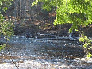
We’ll mainly hike, but may do some light brushing along the way. This hike features a rope assist climb at one point, and scenic views along the Presque Isle River. Aside from the rope-assist climb, the hike is fairly level. Total distance 6.5 miles. There are no water sources (except the river) along the hike. There are facilities at the picnic area at the end of the hike.
Starting point: NCNST trailhead on Highway 519, located 13.7 miles from the intersection of Highway 2 and M-28 in Wakefield. From that intersection, take M-28 north and east, and watch for the intersection with Highway 519. Turn left (north) on 519. The intersection has signs indicating the way to the Porkies. The trailhead is on the left (west), on a downhill slope (GPS coordinates: 46.656819, -89.952181).
The ending point, the picnic area at the Presque Isle Unit of the Porkies, is at the very end of 519 (GPS coordinates: 46.707263, -89.977694).

